


Chetek - C 1 Voting District, Barron County, Wisconsin
About
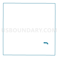
Outline

Summary
| Unique Area Identifier | 692309 |
| Name | Chetek - C 1 Voting District |
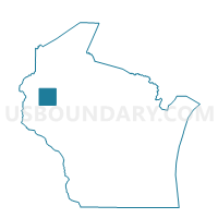
| County | Barron County |
| State | Wisconsin |
| Area (square miles) | 1.18 |
| Land Area (square miles) | 1.18 |
| Water Area (square miles) | 0.00 |
| % of Land Area | 99.77 |
| % of Water Area | 0.23 |
| Latitude of the Internal Point | 45.30952690 |
| Longtitude of the Internal Point | -91.65002950 |
Maps

Graphs
Select a template below for downloading or customizing gragh for Chetek - C 1 Voting District, Barron County, Wisconsin


Neighbors
Neighoring Voting District (by Name) Neighboring Voting District on the Map
- Chetek - C 2 Voting District, Barron County, WI
- Chetek - C 3 Voting District, Barron County, WI
- CHETEK - T 2 Voting District, Barron County, WI
- PRAIRIE LAKE - T 1 Voting District, Barron County, WI
- PRAIRIE LAKE - T 2 Voting District, Barron County, WI
Top 10 Neighboring County Subdivision (by Population) Neighboring County Subdivision on the Map
- Chetek city, Barron County, WI (2,221)
- Chetek town, Barron County, WI (1,644)
- Prairie Lake town, Barron County, WI (1,532)